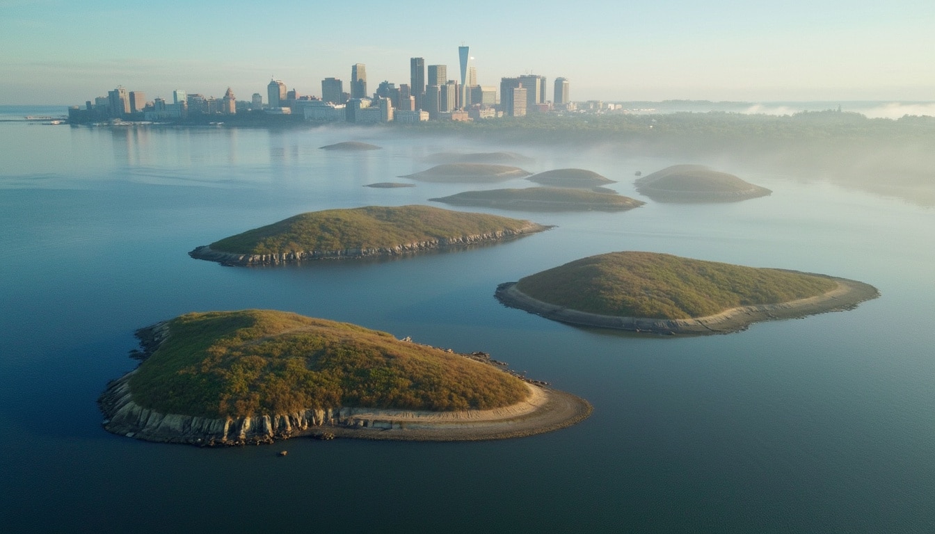
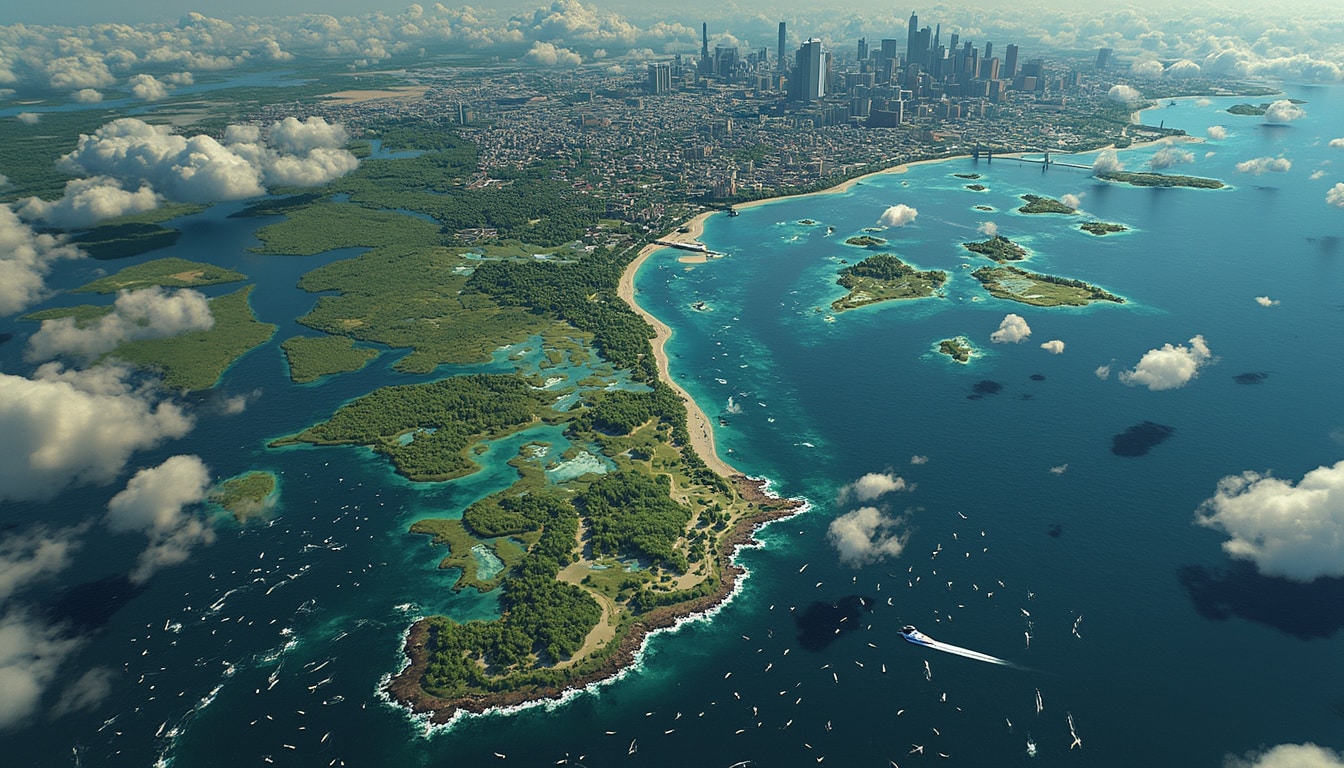
The recent unveiling by NASA Earth Observatory of a stunning image showcasing Boston Harbor’s drumlin islands has captured significant attention. These unique geological formations are not just picturesque; they are among the rarest in the world, representing one of only three such sites globally that were sculpted by glacial activity over 20,000 years ago. The aerial photograph, taken by Landsat 8, portrays a breathtaking view of the 34 islands and peninsulas that are now part of a protected national park. This discovery is vital for understanding the historical and environmental significance of the area, provoking curiosity about the role such landmarks play in both science and space exploration.
As ambient sea levels rose and glaciers receded, these drumlin islands emerged, transforming the Boston shoreline into a mosaic of ecological diversity and rich cultural heritage. Among the highlights are the area’s varied ecosystems and historical sites, including the oldest operational lighthouse in the U.S. and a civil war fortress. These elements combine to make the Boston Harbor Islands National and State Park not only a scenic retreat but also a living testament to the enduring effects of climate and geography.
Understanding Drumlin Islands
The fascinating structure of drumlin islands reveals much about Earth’s geological history. These elongated hills—formed by ice sheets—give us insight into past climatic conditions and glacial movements. More than just a natural phenomenon, they serve as crucial historical sites that speak to the dynamic interplay between ice and land.

The Geological Formation Process
During the Wisconsin Glaciation, a vast ice sheet more than a mile thick covered portions of what is now Boston, shaping the land beneath. As the ice melted, it left behind glacial debris and sediment, creating the modest hills we now know as drumlins. Scientists believe studying these formations can illuminate how glaciers have historically influenced landforms across the globe.
This dynamic helps inform geological models. The patterns observed in Boston’s drumlins offer insights into ice flow dynamics and sediment deposition. Jasper Knight, a geoscientist, underscores this by noting the complexity of glacier behaviors, suggesting that previous beliefs about their slow movement may oversimplify reality. Understanding this mechanism can refine our approach to climate science and urban planning.
Unique Ecosystems of the Drumlin Islands
The drumlin islands burst with biodiversity, featuring ecosystems that range from salt marshes to hardwood forests. This variety supports a spectrum of wildlife, such as mussels, barnacles, and diverse mammals, birds, reptiles, and amphibians. The unique habitats contribute not only to local ecology but also to environmental research, making the area a focal point for conservation efforts.
Four of the drumlin islands, namely Deer Island, Nut Island, World’s End, and Webb Memorial Island, are accessible by car, while others can be reached via seasonal ferries. This accessibility allows urban dwellers the opportunity to explore these natural landscapes and historical landmarks. Scenic trails, educational programs, and wildlife observation initiatives cultivate a connection between visitors and the natural world.
Historical Significance of Boston Harbor
Boston Harbor isn’t just a scenic getaway; it is steeped in history. The drumlin islands house several key historical sites, such as the Boston Light on Little Brewster Island, a lighthouse operational since 1716, making it the oldest in the United States. Additionally, Fort Warren found on Georges Island served as a crucial military stronghold during the Civil War, being a prison for high-profile captured officers.
The Role of Fort Warren
The fort played an essential role during one of the nation’s most tumultuous periods. Holding prisoners, including Confederate Vice President Alexander Stephens, Fort Warren offers visitors a glimpse into the past. The architecture, combined with reenactments and guided tours, provides an engaging educational experience about the conflict and its local implications.
Long Wharf: A Maritime Hub
Historic Long Wharf, developed in the 1720s, also highlights Boston Harbor’s maritime significance. The structure was once the center of Boston’s maritime trade but has transitioned to accommodate recreational vessels. This transformation illustrates how historical sites can adapt to modern requirements while still preserving the essence of their past.
Digital Discovery Through Satellite Imagery
Modern technology has revolutionized the way we discover and understand geographic formations. NASA’s advancements in satellite imagery have allowed scientists to capture breathtaking views of the Earth, uncovering previously unnoticed features. The latest image of Boston Harbor’s drumlin islands exemplifies this blend of innovation and exploration.

Benefiting from Space Exploration
Such advancements in technology not only enhance our understanding of Earth but also have implications for space exploration. Learning about our planet captures vital elements that inform strategies for future missions to other celestial bodies. As we analyze Earth’s geological history, we gain insights that may prove essential when examining landscapes on Mars or other planets.
The Intersection of History and Geospatial Technology
The combination of historical explorations and advanced geospatial technology offers remarkable opportunities for researchers. The partnership between satellite data and historical research can bridge gaps in knowledge about both past climates and modern environmental impacts. Such synergy is critical for shaping future initiatives in conservation and urban development.
The Future of Conservation and Urban Planning
The legacy of Boston’s drumlin islands extends into future initiatives regarding urban development and environmental conservation. As cities continue to expand, understanding the delicate balance between growth and preservation becomes increasingly vital. These islands serve as vital ecological reserves and historical landmarks that contribute to Boston’s identity.
Integrating Technology into Urban Development
Urban planning must integrate insights derived from research into natural environments. Initiatives involving local ecosystems can provide sustainable solutions to urban challenges. Establishing green spaces, safeguarding historical sites, and fostering biodiversity are actions that should guide city-centric policies as urban areas evolve.
The Importance of Community Engagement
Community involvement plays a crucial role in conservation efforts. Engaging local residents in initiatives associated with the drumlin islands can foster a sense of ownership and accountability toward preserving such unique areas. Education campaigns and participatory projects could amplify awareness of the environmental and historical significance of these islands.
Conclusion
The unveiling of Boston’s drumlin islands through NASA’s satellite imagery has created a dialogue surrounding the intertwined relationship between geological history, biodiversity, and human impact. As we celebrate these remarkable formations, ongoing education and conservation efforts will pave the way for a sustainable future that respects and preserves our planet’s natural beauty and the historical tales etched in its landscape.


Leave a Reply